Southampton A-Z Street Atlas
by A-Z Maps
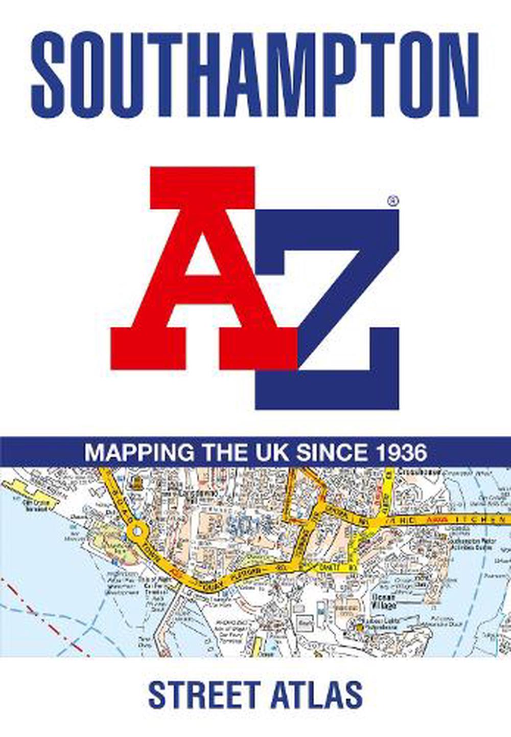
Navigate your way around Southampton with this detailed and easy-to-use A-Z Street Atlas.Printed in full-colour, paperback format, this atlas contains 50 pages of continuous street mapping.
Paperback
English
Brand New
Publisher Description
Navigate your way around Southampton with this detailed and easy-to-use A-Z Street Atlas.
Printed in full-colour, paperback format, this atlas contains 50 pages of continuous street mapping.
The main mapping extends beyond central Southampton at a scale of 4 inches to 1 mile, featuring postcode districts, one-way streets, park and ride sites, and safety camera locations. Areas covered include:
• Eastleigh
• Fawley
• Hythe
• Romsey
• Southampton Airport
• Totton
• Chandler's Ford
• Hamble-le-Rice
• Hedge End
• North Baddesley
The large-scale street map of Southampton city centre – at a scale of 8 inches to 1 mile – includes:
• Postcode map of the Southampton area
• Road map of the Southampton area
• New Forest National Park boundaries
A comprehensive index lists streets, selected flats, walkways and places of interest, place, area and station names. Additional healthcare (hospitals, walk-in centres and hospices) are indexed as well.
Author Biography
A-Z maps are the largest independent map publisher in the United Kingdom providing cartographic services, digital data products and paper mapping publications (including Street Atlases, Visitors Guides, Great Britain Road Atlases and The Adventure Atlas).
Long Description
Navigate your way around Southampton with this detailed and easy-to-use A-Z Street Atlas. Printed in full-colour, paperback format, this atlas contains 50 pages of continuous street mapping. The main mapping extends beyond central Southampton at a scale of 4 inches to 1 mile, featuring postcode districts, one-way streets, park and ride sites, and safety camera locations. Areas covered include: * Eastleigh * Fawley * Hythe * Romsey * Southampton Airport * Totton * Chandler's Ford * Hamble-le-Rice * Hedge End * North Baddesley The large-scale street map of Southampton city centre - at a scale of 8 inches to 1 mile - includes: * Postcode map of the Southampton area * Road map of the Southampton area * New Forest National Park boundaries A comprehensive index lists streets, selected flats, walkways and places of interest, place, area and station names. Additional healthcare (hospitals, walk-in centres and hospices) are indexed as well.
Feature
* Reliable, up-to-date street mapping
Description for Sales People
Navigate your way around Southampton with this detailed and easy-to-use A-Z Street Atlas. Printed in full-colour, paperback format, this atlas contains 50 pages of continuous street mapping. The main mapping extends beyond central Southampton at a scale of 4 inches to 1 mile, featuring postcode districts, one-way streets, park and ride sites, and safety camera locations. Areas covered include: * Eastleigh * Fawley * Hythe * Romsey * Southampton Airport * Totton * Chandler's Ford * Hamble-le-Rice * Hedge End * North Baddesley The large-scale street map of Southampton city centre - at a scale of 8 inches to 1 mile - includes: * Postcode map of the Southampton area * Road map of the Southampton area * New Forest National Park boundaries A comprehensive index lists streets, selected flats, walkways and places of interest, place, area and station names. Additional healthcare (hospitals, walk-in centres and hospices) are indexed as well. Gold title * Reliable, up-to-date street mapping
Details
